Pueblo Boundary Map

It provides a visual representation of the tribal lands and Native American pueblos located within JMEC’s service area. 

This map highlights key boundaries for pueblos such as Jemez, Zia, Navajo Nation, Santa Ana, and others, offering members and stakeholders a clear understanding of the cooperative's geographic coverage in relation to tribal territories. 

It serves as an important resource for planning, coordination, and maintaining respectful service within sovereign lands.

Image
Pueblo Boundary Map
Image
pueblo-boundary-map

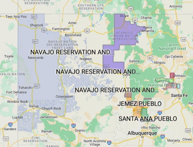
Pueblos And Tribal Nations


Image
9polygon

Jemez Pueblo


Image
8polygon

Zia Pueblo And Trust Lands


Image
7polygon

Navajo Reservation And Trust Lands


Image
7polygon

Jicarilla Apache Nation


Image
6polygon

Santa Ana Pueblo


Image
5polygon

Nambe Pueblo


Image
4polygon

Pojoaque Pueblo


Image
3polygon

Santa Clara Pueblo


Image
2-polygon

San Ildefonso Pueblo


Image
1polygon

Ohkay Owingeh Pueblo